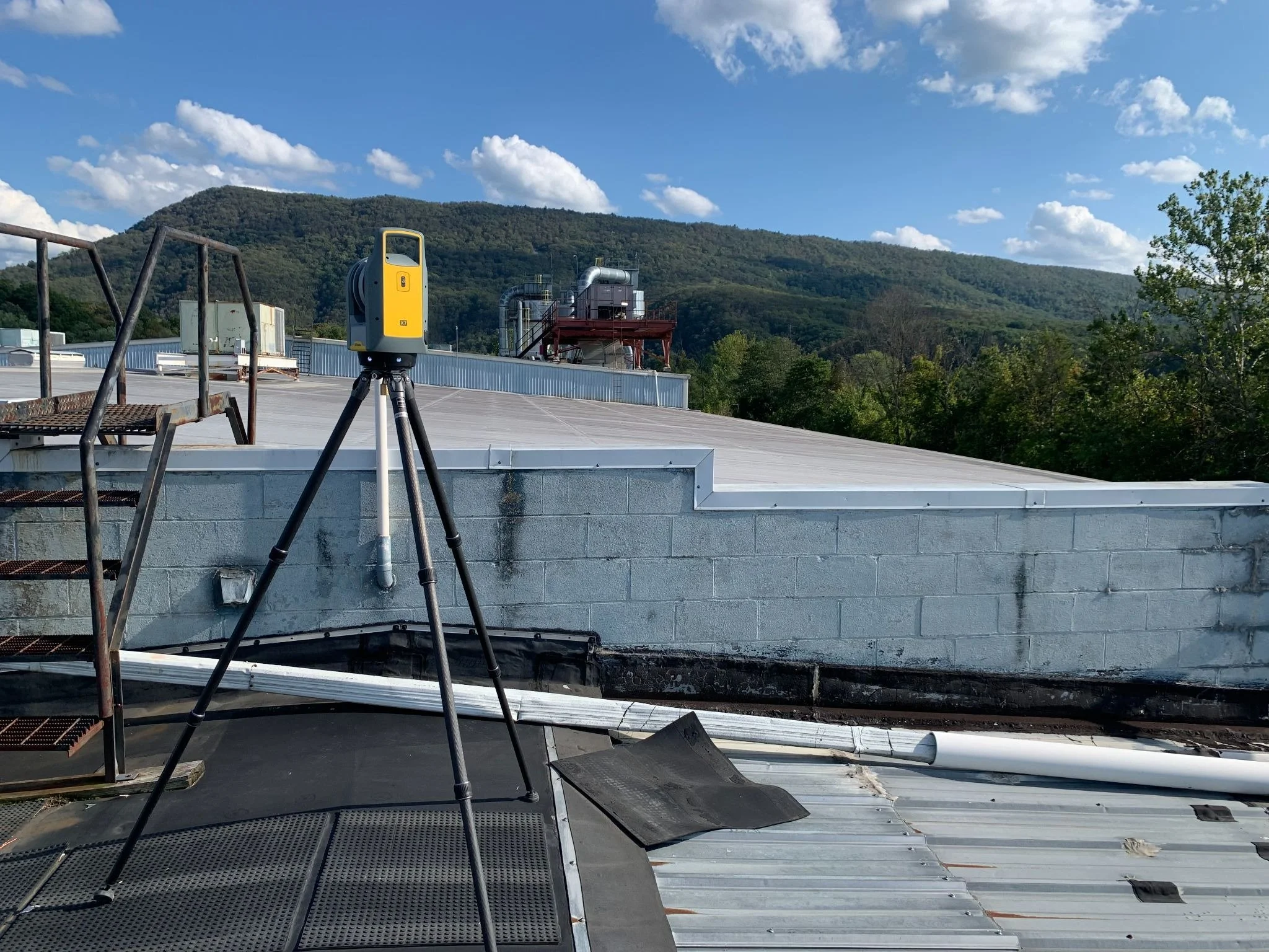
Existing Conditions Surveys
Space Data Capture
We capture Existing Conditions using 3D LIDAR scanning. The “Point Cloud” files created from our scan eliminate the need for return trips and provide extremely precise dimensions.
We then convert the Existing Conditions from the Point Clouds and can provide plans in AutoCAD or Revit formats. Floor Plans, RCP, Roof Plans, Elevations, and other layers can be provided.
A 360-degree Photo Walk-Through for Marketing, Design, and other inspections is available with each survey.
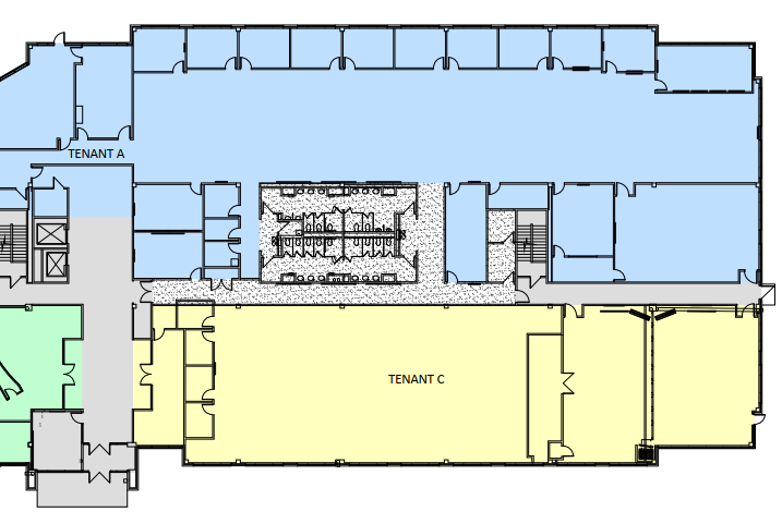
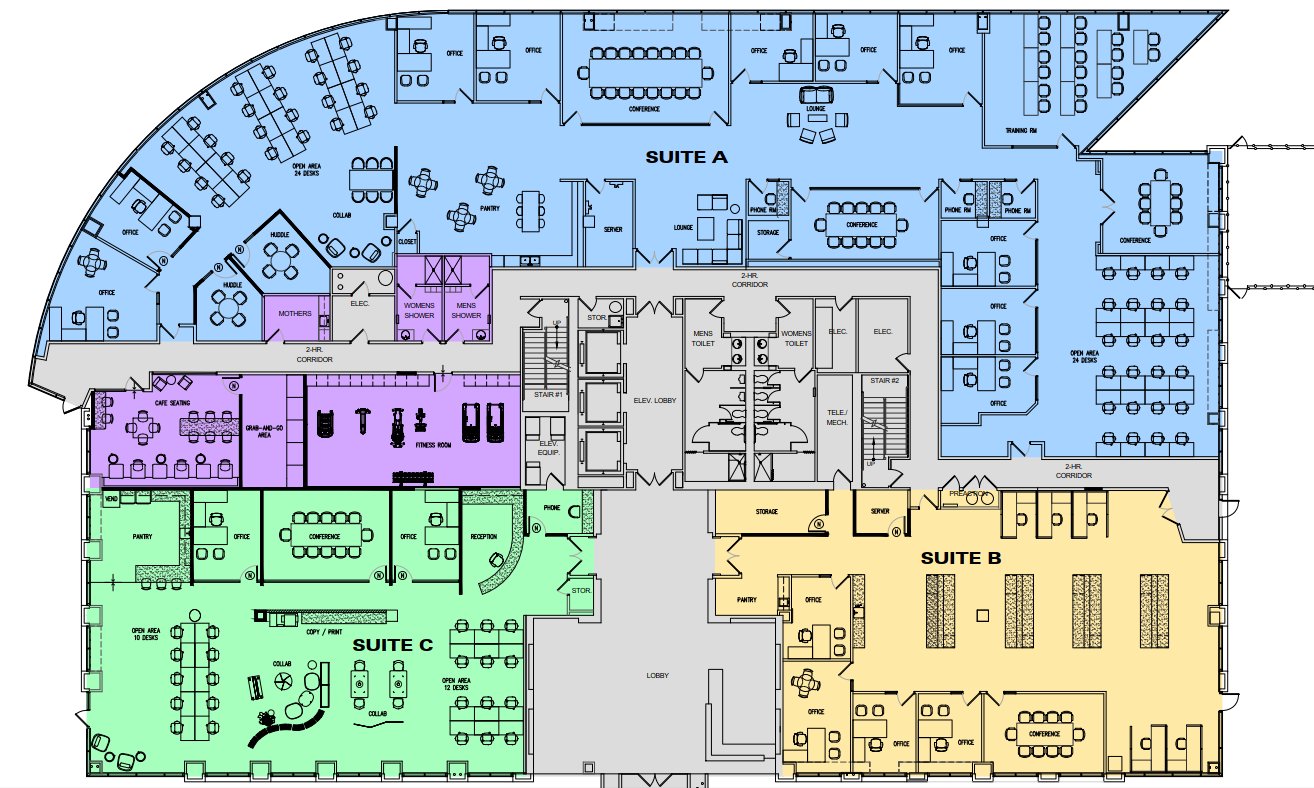
Building Measurement System
Square Footage Calculations (BMS, BOMA, or other market-specific methods)
Square Footage Calculation Management
Stacking Plans
Lease Outline Description Plans
CAD updates of building modifications to maintain accurate as-built plans.
Building Marketing Support
Marketing Brochure creation and support
3D Visualizations, Renderings & Videos of Proposed Improvements
Record Keeping of Building Files
Due Diligence Inspections, Plans/Exhibits, Property Condition Reports, and Transaction Management